A golf course survey is a specialized land survey process that focuses on mapping, measuring, and analyzing the physical features of a golf course. It plays a critical role in course design, renovation, drainage planning, and long-term maintenance. Whether for new development or upgrades to an existing course, accurate surveying ensures that every fairway, green, bunker, and water feature is precisely documented and optimized.
This article explains what a golf course survey is, why it matters, how it is conducted, and what benefits it provides to owners, designers, and managers.
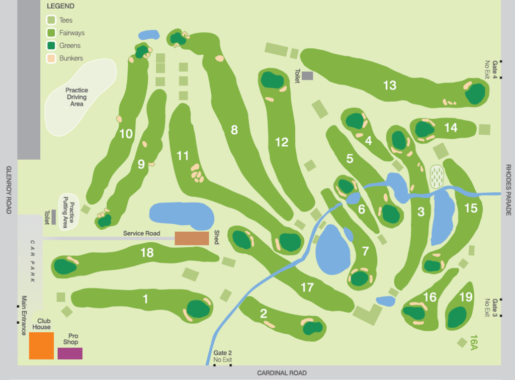
What Is a Golf Course Survey?
A golf course survey is a professional measurement and mapping process that captures the terrain, elevations, boundaries, and built features of a golf facility. It combines traditional surveying techniques with modern technologies such as GPS, drones, and laser scanning.
The survey typically records:
- Land boundaries and property lines
- Elevation changes and contours
- Fairways and greens layout
- Bunkers and hazards
- Water bodies and drainage paths
- Cart paths and infrastructure
- Trees and vegetation zones
This data is then used to create accurate maps and digital golf course survey terrain models that guide planning and decision-making.
Why Golf Course Surveys Are Important
Golf courses are complex landscapes with large areas and varied terrain. Small measurement errors can lead to costly construction mistakes or maintenance problems. A professional golf course survey helps reduce risks and improve outcomes.
Key reasons surveys are essential include:
- Accurate course design – Ensures proper layout and playability
- Efficient drainage planning – Prevents waterlogging and erosion
- Renovation support – Guides upgrades and redesign projects
- Legal boundary clarity – Avoids property disputes
- Maintenance optimization – Helps manage turf and irrigation systems
Reliable survey data supports both short-term projects and long-term course management strategies.
Types of Golf Course Surveys
Different survey types may be used depending on the project goals.
Topographic Survey
A topographic survey maps ground elevations and contours across the golf course. It is essential for course design, reshaping landforms, and improving drainage.
Boundary Survey
This survey confirms legal property lines and land ownership limits. It is important before expansions or land transfers.
Construction Survey
Used during new course development or renovations, this survey ensures that features are built exactly according to design plans.
Utility Survey
This identifies underground and above-ground utilities such as irrigation lines, power cables, and drainage systems.
Technology Used in Modern Golf Course Surveys
Modern golf course survey work uses advanced tools to improve speed and accuracy.
Common technologies include:
- GPS surveying equipment for precise positioning
- Total stations for angle and distance measurement
- Drone aerial mapping for large-area coverage
- LiDAR scanning for highly detailed terrain models
- GIS software for layered mapping and analysis
These tools allow surveyors to collect millions of data points and create detailed digital models of the entire course.
The Golf Course Survey Process
A typical golf course survey follows several structured steps.
1. Project Planning
Surveyors review goals, site size, and required detail level.
2. Field Data Collection
Teams gather measurements using GPS, drones, or ground instruments.
3. Data Processing
Collected points are processed into maps and 3D terrain models.
4. Map and Model Creation
Final drawings, contour maps, and digital files are prepared.
5. Reporting and Delivery
Survey results are delivered to designers, engineers, or managers.
Each stage ensures that the final data is accurate and usable for planning and operations.
Benefits for Golf Course Owners and Designers
A high-quality golf course survey provides multiple advantages.
- Better design accuracy and layout efficiency
- Reduced construction errors
- Improved water management
- Smarter turf maintenance planning
- Clear documentation for permits and approvals
- Stronger long-term asset management
With detailed survey data, decision-makers can confidently plan improvements and control costs.
Conclusion
A golf course survey is a foundational step in creating, improving, and maintaining a successful golf facility. By delivering precise measurements and detailed terrain data, it supports better design, smoother construction, and more effective course management. As surveying technology continues to advance, golf courses can be planned and maintained with greater accuracy and efficiency than ever before.